The purpose of this resource is to identify features of the built environment that could be changed to improve safety and accessibility for students who walk and cycle to school.
Description
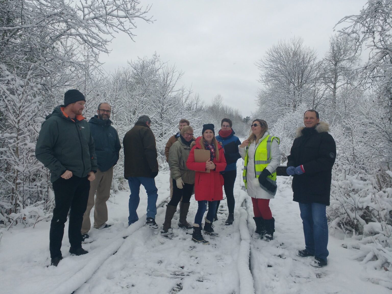
A Walkabout is a group walk along a pre-planned route on the school site and through the school neighbourhood, to experience first-hand the challenges faced by students when they walk or bike to school. In addition to staff and parent representatives from the school, the group should include municipal, police, school board, and student transportation officials. When appropriate and feasible, older students can also participate and share their perspectives.
As the group walks, they discuss and take notes and photos of observations, including positive features that support active travel (e.g., bike racks, traffic calming) and areas of concern (e.g., gaps in sidewalks, visibility of pedestrian crossings) that are barriers. At the end of the walkabout, the group returns to the school and holds a debrief meeting to review findings and identify next steps to take action and develop solutions. Information from the Walkabout can also be used for Routes to School Mapping.
The Walkabout can be combined with conducting a Traffic Observation during the school’s morning or afternoon bell times. If many students bike to school, consider also conducting a Bikeabout to help identify opportunities to improve cycling infrastructure.
What you will need
- Planned route map for the walk, incorporating any locations of concern identified by the school community (e.g., by conducting a Family Survey)
- Supplies for the walk: clipboards, pens, copies of the route map, camera, a Walkabout Checklist (see Resources)
- Supplies for the debriefing session: pens, paper, chart paper, markers, copies of the “Writing a Vision Worksheet” (see Resources)
Who can help
Teachers, students, parents and caregivers, public health nurses, municipal and school board staff, and elected officials.
Key words
Safety, routes, audit, survey, accessibility, school travel planning, data collection, active transportation, infrastructure, pedestrian, sidewalk, crossing, traffic, students, walk, bicycle, school bus, public transit, car.